 Mary A
Current Status
Where is the vessel?
Mary A is currently in Near Hunsdon, based on AIS data received about 14h ago.
Latest AIS update:
Current position: 51.88715° N, 3.28570° E (Near Hunsdon)
Average speed (last 7 days): Loading…
Average speed (last 30 days): Loading…
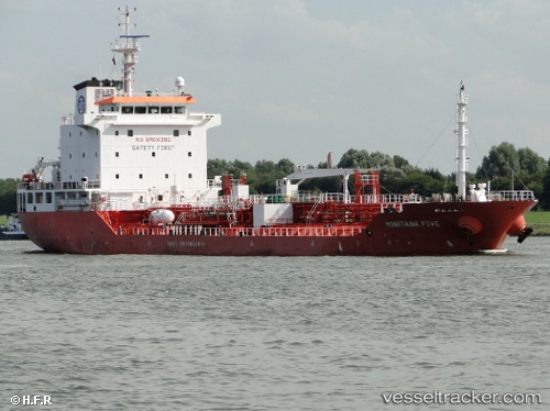
Vessel profile: Mary A is a Chemical Oil Products Tanker with dimensions 113m x 113m.
This page combines live AIS, route history, probable destination signals, nearby traffic, and port activity for practical vessel monitoring.
The current position of vessel Mary A is 51.88715 lat / 3.28570 lng. Updated: 2026-05-23 05:23:23 UTCNearest reference points:
- Near Hunsdon
- 12 nm NE of Hunsdon
- Near Thorntonbank
Currently sailing under the flag of Italy ![]()
Mary A built in 2007 year
Deadweight:
8084 tDetails:
Live Vessel Mary A Analytics (details, animations, etc.)
Recent AIS points (UTC):
2026-05-23 01:55:52 UTC · 52.03558, 3.91889 · SOG 12.7 kn · COG 295°2026-05-23 04:09:22 UTC · 52.04359, 3.36815 · SOG 8.8 kn · COG 238°
2026-05-23 04:23:13 UTC · 52.01299, 3.34952 · SOG 8.8 kn · COG 196°
2026-05-23 05:23:23 UTC · 51.88715, 3.28570 · SOG 11.1 kn · COG 180°