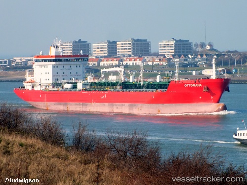
 OTTOMANA
Current Status
Where is the vessel?
OTTOMANA is currently in 15 nm S of Methoni, based on AIS data received about 14h ago.
Latest AIS update:
Current position: 36.56945° N, 21.66918° E (15 nm S of Methoni)
Average speed (last 7 days): Loading…
Average speed (last 30 days): Loading…
Vessel profile: OTTOMANA is a Oil/Chemical Tanker with dimensions m x m.
This page combines live AIS, route history, probable destination signals, nearby traffic, and port activity for practical vessel monitoring.
The current position of vessel OTTOMANA is 36.56945 lat / 21.66918 lng. Updated: 2026-05-21 19:36:34 UTCNearest reference points:
- 23 nm S of Methoni
- 17 nm S of Areópolis
- Near Kythira
Currently sailing under the flag of Malta ![]()
Details:
Live Vessel OTTOMANA Analytics (details, animations, etc.)
Recent AIS points (UTC):
2026-05-21 16:22:13 UTC · 36.10412, 22.28380 · SOG 12.4 kn · COG 313°2026-05-21 17:48:55 UTC · 36.30847, 22.00718 · SOG 12.6 kn · COG 314°
2026-05-21 19:16:14 UTC · 36.51855, 21.73104 · SOG 12.5 kn · COG 316°
2026-05-21 19:36:34 UTC · 36.56945, 21.66918 · SOG 12.5 kn · COG 317°