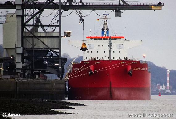
 NAVIOS DOLPHIN
Current Status
Where is the vessel?
NAVIOS DOLPHIN is currently in 28 nm S of Pulau Jarak, based on AIS data received about 14h ago.
Latest AIS update:
Current position: 3.50526° N, 100.16428° E (28 nm S of Pulau Jarak)
Average speed (last 7 days): Loading…
Average speed (last 30 days): Loading…
Vessel profile: NAVIOS DOLPHIN is a Cargo with dimensions m x m.
This page combines live AIS, route history, probable destination signals, nearby traffic, and port activity for practical vessel monitoring.
The current position of vessel NAVIOS DOLPHIN is 3.50526 lat / 100.16428 lng. Updated: 2026-05-22 07:34:19 UTCNearest reference points:
- 11 nm W of Pangkur
- Near PANGKOR
- Near Simpang Lima
Currently sailing under the flag of Malta ![]()
Details:
Live Vessel NAVIOS DOLPHIN Analytics (details, animations, etc.)
Recent AIS points (UTC):
2026-05-22 03:53:59 UTC · 3.95828, 99.63736 · SOG 10.1 kn · COG -1°2026-05-22 04:51:45 UTC · 3.85392, 99.76511 · SOG 10.4 kn · COG 127°
2026-05-22 05:42:09 UTC · 3.75967, 99.88446 · SOG 11.6 kn · COG -1°
2026-05-22 07:34:19 UTC · 3.50526, 100.16428 · SOG 12.1 kn · COG -1°