 ECOSTAR
Current Status
Where is the vessel?
ECOSTAR is currently in 103 nm N of Santa Cruz De Tenerife, based on AIS data received about 14h ago.
Latest AIS update:
Current position: 30.32052° N, 16.58218° W (103 nm N of Santa Cruz De Tenerife)
Average speed (last 7 days): Loading…
Average speed (last 30 days): Loading…
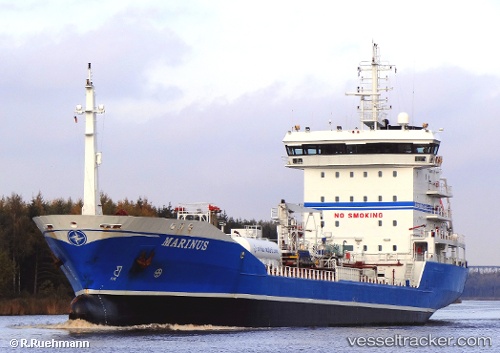
Vessel profile: ECOSTAR is a Chemical Tanker with dimensions m x m.
This page combines live AIS, route history, probable destination signals, nearby traffic, and port activity for practical vessel monitoring.
The current position of vessel ECOSTAR is 30.32052 lat / -16.58218 lng. Updated: 2026-05-19 04:49:16 UTCNearest reference points:
- 121 nm N of Bañaderos
- 120 nm N of Bañaderos
- 17 nm N of Vallehermosa
Currently sailing under the flag of Malta ![]()
Details:
Live Vessel ECOSTAR Analytics (details, animations, etc.)
Recent AIS points (UTC):
2026-05-19 01:23:38 UTC · 30.66439, -15.91160 · SOG 12 kn · COG 239°2026-05-19 01:23:38 UTC · 30.66439, -15.91160 · SOG 12 kn · COG 239°
2026-05-19 03:44:05 UTC · 30.43218, -16.36948 · SOG 11.9 kn · COG 239°
2026-05-19 04:49:16 UTC · 30.32052, -16.58218 · SOG 11.7 kn · COG 240°