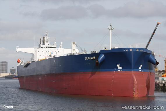
 SEACALM
Current Status
Where is the vessel?
SEACALM is currently in 46 nm SE of Fisher Island, Miami, based on AIS data received about 15h ago.
Latest AIS update:
Current position: 25.18113° N, 79.59223° W (46 nm SE of Fisher Island, Miami)
Average speed (last 7 days): Loading…
Average speed (last 30 days): Loading…
Vessel profile: SEACALM is a Tanker A with dimensions m x m.
This page combines live AIS, route history, probable destination signals, nearby traffic, and port activity for practical vessel monitoring.
The current position of vessel SEACALM is 25.18113 lat / -79.59223 lng. Updated: 2026-05-23 07:48:46 UTCNearest reference points:
- 44 nm E of Surfside
- 11 nm SE of Cutler Bay
- Near Fisher Island, Miami
Currently sailing under the flag of Malta ![]()
Details:
Live Vessel SEACALM Analytics (details, animations, etc.)
Recent AIS points (UTC):
2026-05-23 04:19:25 UTC · 25.89112, -79.51035 · SOG 12.7 kn · COG 193°2026-05-23 06:16:07 UTC · 25.49820, -79.52983 · SOG 12.6 kn · COG 181°
2026-05-23 07:38:45 UTC · 25.21743, -79.58279 · SOG 13 kn · COG -1°
2026-05-23 07:48:46 UTC · 25.18113, -79.59223 · SOG 13 kn · COG -1°