 vesseltracker.com
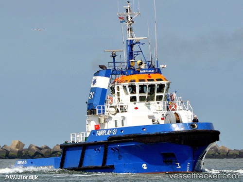
 FORTIZZA
Current Status
Where is the vessel?
FORTIZZA is currently in Near Cagliari, based on AIS data received about 15h ago.
Latest AIS update:
Current position: 39.21537° N, 9.06068° E (Near Cagliari)
Average speed (last 7 days): Loading…
Average speed (last 30 days): Loading…
Vessel profile: FORTIZZA is a Tug with dimensions m x m.
This page combines live AIS, route history, probable destination signals, nearby traffic, and port activity for practical vessel monitoring.
The current position of vessel FORTIZZA is 39.21537 lat / 9.06068 lng. Updated: 2026-05-18 07:48:34 UTCNearest reference points:
- Near Cagliari
- Near SARROCH
- Near CARLOFORTE
Currently sailing under the flag of Malta ![]()
Details:
Live Vessel FORTIZZA Analytics (details, animations, etc.)
Recent AIS points (UTC):
2026-05-18 04:42:29 UTC · 39.21529, 9.06071 · SOG 0 kn · COG 92°2026-05-18 05:33:29 UTC · 39.21536, 9.06067 · SOG 0 kn · COG 95°
2026-05-18 07:39:33 UTC · 39.21536, 9.06071 · SOG 0 kn · COG 95°
2026-05-18 07:48:34 UTC · 39.21537, 9.06068 · SOG 0 kn · COG 94°