 MINEL VARDAL
Current Status
Where is the vessel?
MINEL VARDAL is currently in 12 nm NW of Llanwrda, based on AIS data received about 15h ago.
Latest AIS update:
Current position: 52.14515° N, 3.70555° E (12 nm NW of Llanwrda)
Average speed (last 7 days): Loading…
Average speed (last 30 days): Loading…
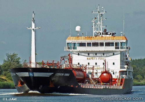
Vessel profile: MINEL VARDAL is a Oil/Chemical Tanker with dimensions m x m.
This page combines live AIS, route history, probable destination signals, nearby traffic, and port activity for practical vessel monitoring.
The current position of vessel MINEL VARDAL is 52.14515 lat / 3.70555 lng. Updated: 2026-05-23 05:23:06 UTCNearest reference points:
- Near Haarlemmermeer
- 12 nm NE of Hunsdon
- Near MAASVLAKTE - ROTTERDAM
Currently sailing under the flag of Malta ![]()
Details:
Live Vessel MINEL VARDAL Analytics (details, animations, etc.)
Recent AIS points (UTC):
2026-05-23 01:55:46 UTC · 52.31375, 3.77623 · SOG 12.8 kn · COG 191°2026-05-23 04:08:06 UTC · 52.14420, 3.70298 · SOG 0.1 kn · COG 105°
2026-05-23 04:23:06 UTC · 52.14533, 3.70387 · SOG 0.4 kn · COG 162°
2026-05-23 05:23:06 UTC · 52.14515, 3.70555 · SOG 0 kn · COG 210°