 ELEKTRA
Current Status
Where is the vessel?
ELEKTRA is currently in Open sea, approx. 490 nm off the nearest listed port, based on AIS data received about 14h ago.
Latest AIS update:
Current position: 5.79044° S, 5.78989° W (Open sea, approx. 490 nm off the nearest listed port)
Average speed (last 7 days): Loading…
Average speed (last 30 days): Loading…
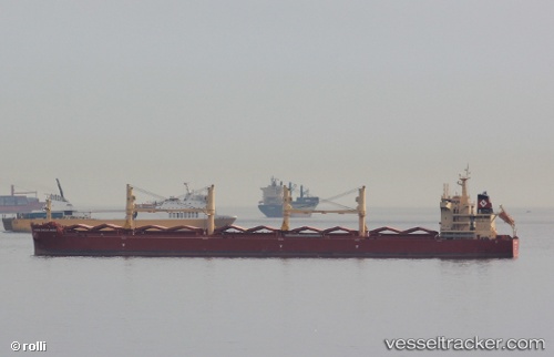
Vessel profile: ELEKTRA is a Cargo with dimensions m x m.
This page combines live AIS, route history, probable destination signals, nearby traffic, and port activity for practical vessel monitoring.
The current position of vessel ELEKTRA is -5.79044 lat / -5.78989 lng. Updated: 2026-05-23 04:39:12 UTCNearest reference points:
- Open sea, approx. 490 nm off the nearest listed port
- Open sea, approx. 489 nm off the nearest listed port
- Open sea, approx. 491 nm off the nearest listed port
Details:
Live Vessel ELEKTRA Analytics (details, animations, etc.)
Recent AIS points (UTC):
2026-05-23 01:33:12 UTC · -5.34704, -6.10093 · SOG 10.1 kn · COG 143°2026-05-23 01:33:12 UTC · -5.34704, -6.10093 · SOG 10.1 kn · COG 143°
2026-05-23 03:46:42 UTC · -5.66509, -5.87822 · SOG 10.6 kn · COG 144°
2026-05-23 04:39:12 UTC · -5.79044, -5.78989 · SOG 10.5 kn · COG 146°