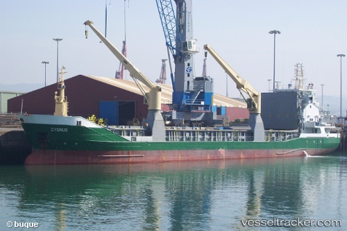
 CYGNUS
Current Status
Where is the vessel?
CYGNUS is currently in 21 nm E of Bal Harbour, based on AIS data received about 14h ago.
Latest AIS update:
Current position: 25.89850° N, 79.73436° W (21 nm E of Bal Harbour)
Average speed (last 7 days): Loading…
Average speed (last 30 days): Loading…
Vessel profile: CYGNUS is a General Cargo with dimensions m x m.
This page combines live AIS, route history, probable destination signals, nearby traffic, and port activity for practical vessel monitoring.
The current position of vessel CYGNUS is 25.89850 lat / -79.73436 lng. Updated: 2026-05-23 01:28:51 UTCNearest reference points:
- Near Fort Lauderdale
- Near North Bay Village
- Near Port Laudania
Currently sailing under the flag of Portugal ![]()
Details:
Live Vessel CYGNUS Analytics (details, animations, etc.)
Recent AIS points (UTC):
2026-05-22 21:38:59 UTC · 25.79308, -80.24023 · SOG 2.7 kn · COG 306°2026-05-22 23:02:49 UTC · 25.77299, -80.18033 · SOG 3.6 kn · COG 264°
2026-05-23 00:26:52 UTC · 25.82466, -79.93890 · SOG 11.6 kn · COG 85°
2026-05-23 01:28:51 UTC · 25.89850, -79.73436 · SOG 11.2 kn · COG 85°