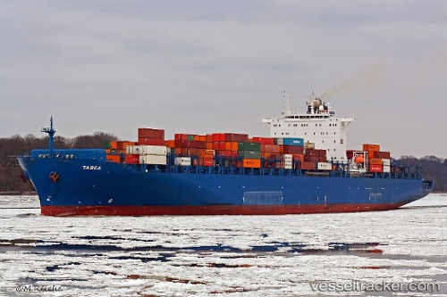
 Tabea
Tabea
Current Status
Where is the vessel?
Tabea is currently in 54 nm W of CASADO, based on AIS data received about 14h ago.
Latest AIS update:
Current position: 21.14185° N, 17.93222° W (54 nm W of CASADO)
Average speed (last 7 days): Loading…
Average speed (last 30 days): Loading…
Vessel profile: Tabea is a Container Ship with dimensions 277m x 276m.
This page combines live AIS, route history, probable destination signals, nearby traffic, and port activity for practical vessel monitoring.
The current position of vessel Tabea is 21.14185 lat / -17.93222 lng. Updated: 2026-05-22 01:20:01 UTCNearest reference points:
- 41 nm NW of Nouadhibou
- Near Nouadhibou
- 108 nm SW of Port Etienne
Currently sailing under the flag of Portugal ![]()
Tabea built in 2006 year
Deadweight:
68228 tDetails:
Live Vessel Tabea Analytics (details, animations, etc.)
Recent AIS points (UTC):
2026-05-21 22:24:50 UTC · 22.09964, -17.73799 · SOG 20.2 kn · COG 190°2026-05-21 22:24:50 UTC · 22.09964, -17.73799 · SOG 20.2 kn · COG 190°
2026-05-22 01:20:01 UTC · 21.14185, -17.93222 · SOG 19.7 kn · COG 185°
2026-05-22 01:20:01 UTC · 21.14185, -17.93222 · SOG 19.7 kn · COG 185°