 RUBYLAND
Current Status
Where is the vessel?
RUBYLAND is currently in 22 nm E of Sarinena, based on AIS data received about 14h ago.
Latest AIS update:
Current position: 41.65040° N, 9.55137° W (22 nm E of Sarinena)
Average speed (last 7 days): Loading…
Average speed (last 30 days): Loading…
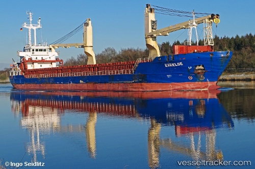
Vessel profile: RUBYLAND is a General Cargo Ship with dimensions 106m x 15m.
This page combines live AIS, route history, probable destination signals, nearby traffic, and port activity for practical vessel monitoring.
The current position of vessel RUBYLAND is 41.65040 lat / -9.55137 lng. Updated: 2026-05-20 17:35:09 UTCNearest reference points:
- 11 nm S of Sarinena
- Near POVOA DE VARZIM
- Near Corujo
Currently sailing under the flag of Portugal (MAR) ![]()
RUBYLAND built in 2011 year
Deadweight:
5724 tDetails:
Live Vessel RUBYLAND Analytics (details, animations, etc.)
Recent AIS points (UTC):
2026-05-20 13:35:58 UTC · 42.08378, -9.74602 · SOG 6.9 kn · COG 161°2026-05-20 16:04:28 UTC · 41.80981, -9.61976 · SOG 7 kn · COG 162°
2026-05-20 16:57:09 UTC · 41.71524, -9.58074 · SOG 6.3 kn · COG 164°
2026-05-20 17:35:09 UTC · 41.65040, -9.55137 · SOG 6.5 kn · COG 163°