 SOLARIS
Current Status
Where is the vessel?
SOLARIS is currently in Near Mobile, based on AIS data received about 14h ago.
Latest AIS update:
Current position: 30.70281° N, 88.03632° W (Near Mobile)
Average speed (last 7 days): Loading…
Average speed (last 30 days): Loading…
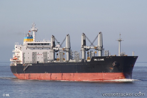
Vessel profile: SOLARIS is a Bulk Carrier with dimensions m x m.
This page combines live AIS, route history, probable destination signals, nearby traffic, and port activity for practical vessel monitoring.
The current position of vessel SOLARIS is 30.70281 lat / -88.03632 lng. Updated: 2026-05-23 06:25:50 UTCNearest reference points:
- Near Mobile
- Near Pinto Island
- Near Chickasaw
Currently sailing under the flag of Portugal ![]()
Details:
Live Vessel SOLARIS Analytics (details, animations, etc.)
Recent AIS points (UTC):
2026-05-23 02:49:49 UTC · 30.70285, -88.03640 · SOG 0 kn · COG 179°2026-05-23 03:25:49 UTC · 30.70286, -88.03641 · SOG 0 kn · COG 179°
2026-05-23 04:16:47 UTC · 30.70287, -88.03637 · SOG 0 kn · COG 179°
2026-05-23 06:25:50 UTC · 30.70281, -88.03632 · SOG 0 kn · COG 179°