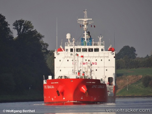
 GAS TOP
Current Status
Where is the vessel?
GAS TOP is currently in Near Charlotte Amalie, based on AIS data received about 14h ago.
Latest AIS update:
Current position: 18.32116° N, 64.98235° W (Near Charlotte Amalie)
Average speed (last 7 days): Loading…
Average speed (last 30 days): Loading…
Vessel profile: GAS TOP is a Tanker with dimensions m x m.
This page combines live AIS, route history, probable destination signals, nearby traffic, and port activity for practical vessel monitoring.
The current position of vessel GAS TOP is 18.32116 lat / -64.98235 lng. Updated: 2026-05-23 07:05:43 UTCNearest reference points:
- Near Charlotte Amalie
- Near ST THOMAS
- Near Norman Island
Currently sailing under the flag of Portugal ![]()
Details:
Live Vessel GAS TOP Analytics (details, animations, etc.)
Recent AIS points (UTC):
2026-05-23 04:02:42 UTC · 18.32140, -64.98239 · SOG 0.1 kn · COG 102°2026-05-23 04:53:42 UTC · 18.32149, -64.98233 · SOG 0.1 kn · COG 105°
2026-05-23 06:20:42 UTC · 18.32128, -64.98235 · SOG 0.2 kn · COG 94°
2026-05-23 07:05:43 UTC · 18.32116, -64.98235 · SOG 0.1 kn · COG 80°