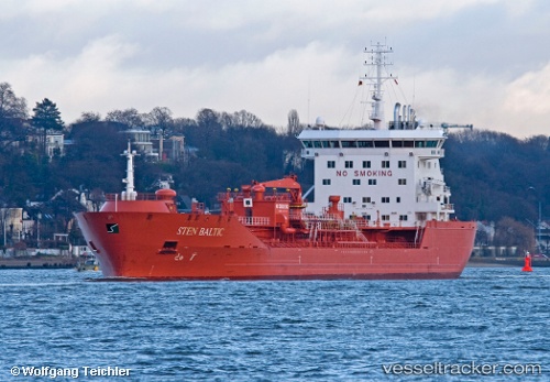
 STEN BALTIC
Current Status
Where is the vessel?
STEN BALTIC is currently in Near de Ruyter, based on AIS data received about 14h ago.
Latest AIS update:
Current position: 52.42060° N, 3.96470° E (Near de Ruyter)
Average speed (last 7 days): Loading…
Average speed (last 30 days): Loading…
Vessel profile: STEN BALTIC is a Oil/Chemical Tanker with dimensions m x m.
This page combines live AIS, route history, probable destination signals, nearby traffic, and port activity for practical vessel monitoring.
The current position of vessel STEN BALTIC is 52.42060 lat / 3.96470 lng. Updated: 2026-05-21 01:44:26 UTCNearest reference points:
- Near de Ruyter
- 23 nm N of de Ruyter
- 22 nm W of Schoorl
Currently sailing under the flag of Portugal ![]()
Details:
Live Vessel STEN BALTIC Analytics (details, animations, etc.)
Recent AIS points (UTC):
2026-05-20 23:05:27 UTC · 52.42073, 3.96521 · SOG 0.3 kn · COG 315°2026-05-20 23:26:29 UTC · 52.42032, 3.96321 · SOG 0.2 kn · COG 334°
2026-05-21 01:26:27 UTC · 52.42043, 3.96466 · SOG 0 kn · COG 308°
2026-05-21 01:44:26 UTC · 52.42060, 3.96470 · SOG 0.1 kn · COG 299°