 Peristil
Current Status
Where is the vessel?
Peristil is currently in 366 nm NE of Port Mathurin, based on AIS data received about 14h ago.
Latest AIS update:
Current position: 14.41401° S, 66.61623° E (366 nm NE of Port Mathurin)
Average speed (last 7 days): Loading…
Average speed (last 30 days): Loading…
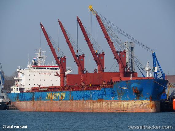
Vessel profile: Peristil is a Bulk Carrier with dimensions 190m x 32m.
This page combines live AIS, route history, probable destination signals, nearby traffic, and port activity for practical vessel monitoring.
The current position of vessel Peristil is -14.41401 lat / 66.61623 lng. Updated: 2026-05-22 23:59:08 UTCNearest reference points:
- Open sea, approx. 401 nm off the nearest listed port
- Open sea, approx. 400 nm off the nearest listed port
- Open sea, approx. 402 nm off the nearest listed port
Currently sailing under the flag of Malta ![]()
Details:
Live Vessel Peristil Analytics (details, animations, etc.)
Recent AIS points (UTC):
2026-05-22 19:50:25 UTC · -14.83137, 65.95238 · SOG 11 kn · COG 57°2026-05-22 21:46:52 UTC · -14.63401, 66.26215 · SOG 11 kn · COG 56°
2026-05-22 22:40:27 UTC · -14.54517, 66.40141 · SOG 11 kn · COG 53°
2026-05-22 23:59:08 UTC · -14.41401, 66.61623 · SOG 11.2 kn · COG 52°