 IOANNIS
Current Status
Where is the vessel?
IOANNIS is currently in Near Hammerhavn, based on AIS data received about 14h ago.
Latest AIS update:
Current position: 55.42146° N, 14.72897° E (Near Hammerhavn)
Average speed (last 7 days): Loading…
Average speed (last 30 days): Loading…
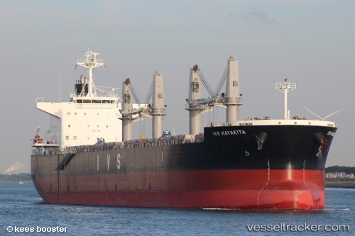
Vessel profile: IOANNIS is a Cargo with dimensions m x m.
This page combines live AIS, route history, probable destination signals, nearby traffic, and port activity for practical vessel monitoring.
The current position of vessel IOANNIS is 55.42146 lat / 14.72897 lng. Updated: 2026-05-20 23:06:25 UTCNearest reference points:
- Near TEJN
- Near Sölvesborg
- Near Åhus
Currently sailing under the flag of Malta ![]()
Details:
Live Vessel IOANNIS Analytics (details, animations, etc.)
Recent AIS points (UTC):
2026-05-20 17:38:15 UTC · 55.23747, 12.90408 · SOG 12.7 kn · COG 102°2026-05-20 19:04:14 UTC · 55.18487, 13.42516 · SOG 12.6 kn · COG 96°
2026-05-20 22:05:05 UTC · 55.26810, 14.45922 · SOG 12.7 kn · COG 40°
2026-05-20 23:06:25 UTC · 55.42146, 14.72897 · SOG 12.9 kn · COG 60°