 HOEGH YOKOHAMA
Current Status
Where is the vessel?
HOEGH YOKOHAMA is currently in 77 nm N of Praia da Vitória, based on AIS data received about 14h ago.
Latest AIS update:
Current position: 39.95664° N, 26.56321° W (77 nm N of Praia da Vitória)
Average speed (last 7 days): Loading…
Average speed (last 30 days): Loading…
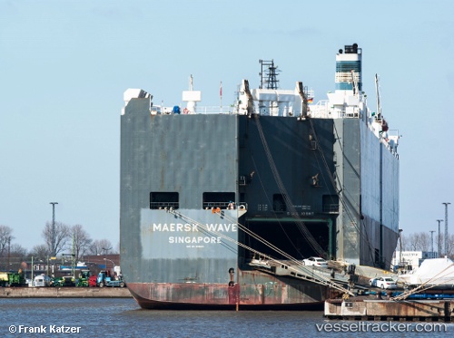
Vessel profile: HOEGH YOKOHAMA is a Vehicles Carrier with dimensions m x m.
This page combines live AIS, route history, probable destination signals, nearby traffic, and port activity for practical vessel monitoring.
The current position of vessel HOEGH YOKOHAMA is 39.95664 lat / -26.56321 lng. Updated: 2026-05-18 23:41:14 UTCNearest reference points:
- 81 nm SW of Matillas
- Near Praia Da Vitoria
Currently sailing under the flag of Norway ![]()
Details:
Live Vessel HOEGH YOKOHAMA Analytics (details, animations, etc.)
Recent AIS points (UTC):
2026-05-18 19:57:02 UTC · 39.39732, -27.64615 · SOG 15.7 kn · COG 53°2026-05-18 22:10:26 UTC · 39.73118, -27.00498 · SOG 16.3 kn · COG 54°
2026-05-18 22:29:44 UTC · 39.77910, -26.91006 · SOG 15.9 kn · COG 53°
2026-05-18 23:41:14 UTC · 39.95664, -26.56321 · SOG 16 kn · COG 56°