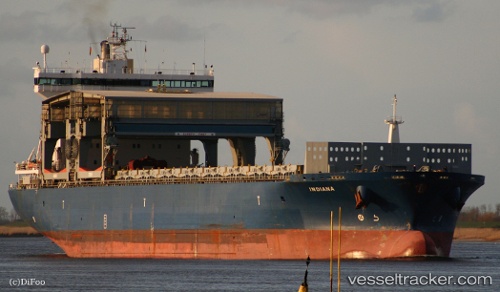
 INDIANA
Current Status
Where is the vessel?
INDIANA is currently in 91 nm NW of Villamarchante, based on AIS data received about 14h ago.
Latest AIS update:
Current position: 40.69473° N, 38.33283° W (91 nm NW of Villamarchante)
Average speed (last 7 days): Loading…
Average speed (last 30 days): Loading…
Vessel profile: INDIANA is a General Cargo Ship with dimensions 30m x 197m.
This page combines live AIS, route history, probable destination signals, nearby traffic, and port activity for practical vessel monitoring.
The current position of vessel INDIANA is 40.69473 lat / -38.33283 lng. Updated: 2026-05-19 05:01:01 UTCNearest reference points:
- 97 nm SE of Chapineria
Currently sailing under the flag of Norway (NIS) ![]()
INDIANA built in 2000 year
Deadweight:
44982 tDetails:
Live Vessel INDIANA Analytics (details, animations, etc.)
Recent AIS points (UTC):
2026-05-19 01:45:32 UTC · 40.96080, -37.66690 · SOG 10.6 kn · COG 247°2026-05-19 03:57:20 UTC · 40.77739, -38.11847 · SOG 10.5 kn · COG 242°
2026-05-19 03:57:20 UTC · 40.77739, -38.11847 · SOG 10.5 kn · COG 242°
2026-05-19 05:01:01 UTC · 40.69473, -38.33283 · SOG 10.3 kn · COG 241°