 Langsund
Current Status
Where is the vessel?
Langsund is currently in Near Vingsand, based on AIS data received about 14h ago.
Latest AIS update:
Current position: 64.39140° N, 10.14283° E (Near Vingsand)
Average speed (last 7 days): Loading…
Average speed (last 30 days): Loading…
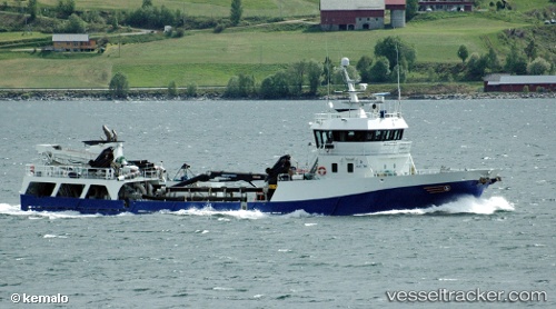
Vessel profile: Langsund is a Fish Carrier with dimensions 58m x 10m.
This page combines live AIS, route history, probable destination signals, nearby traffic, and port activity for practical vessel monitoring.
The current position of vessel Langsund is 64.39140 lat / 10.14283 lng. Updated: 2026-05-19 10:27:26 UTCNearest reference points:
- Near Vingsand
- Near Utvorda
- Near Uthaug
Currently sailing under the flag of Norway ![]()
Langsund built in 2001 year
Deadweight:
650 tDetails:
Live Vessel Langsund Analytics (details, animations, etc.)
Recent AIS points (UTC):
2026-05-19 07:57:27 UTC · 64.62766, 10.76182 · SOG 9.1 kn · COG 249°2026-05-19 08:06:15 UTC · 64.61864, 10.71442 · SOG 9.2 kn · COG 244°
2026-05-19 10:08:06 UTC · 64.41602, 10.19552 · SOG 5.1 kn · COG 224°
2026-05-19 10:27:26 UTC · 64.39140, 10.14283 · SOG 9 kn · COG 226°