 ELLI F
Current Status
Where is the vessel?
ELLI F is currently in Near HARLINGEN, based on AIS data received about 14h ago.
Latest AIS update:
Current position: 53.18528° N, 5.42842° E (Near HARLINGEN)
Average speed (last 7 days): Loading…
Average speed (last 30 days): Loading…
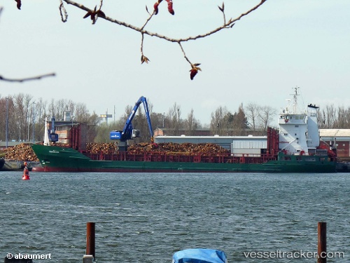
Vessel profile: ELLI F is a General Cargo with dimensions m x m.
This page combines live AIS, route history, probable destination signals, nearby traffic, and port activity for practical vessel monitoring.
The current position of vessel ELLI F is 53.18528 lat / 5.42842 lng. Updated: 2026-05-20 16:24:50 UTCNearest reference points:
- Near HARLINGEN
- Near FRANEKER
- Near Wonseradeel/Makkum
Currently sailing under the flag of San Marino ![]()
Details:
Live Vessel ELLI F Analytics (details, animations, etc.)
Recent AIS points (UTC):
2026-05-20 13:24:16 UTC · 53.18528, 5.42838 · SOG 0 kn · COG -1°2026-05-20 13:49:36 UTC · 53.18529, 5.42840 · SOG 0 kn · COG 54°
2026-05-20 16:24:50 UTC · 53.18528, 5.42842 · SOG 0 kn · COG 53°
2026-05-20 16:24:50 UTC · 53.18528, 5.42842 · SOG 0 kn · COG 53°