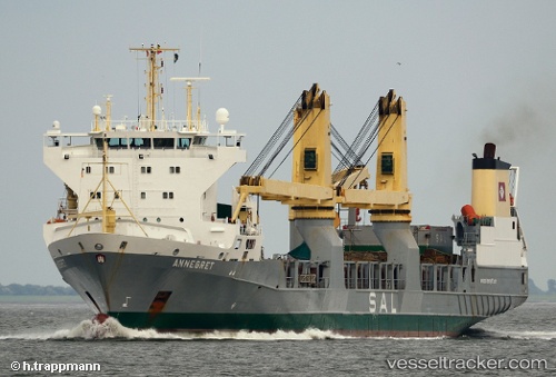
 Annegret
Current Status
Where is the vessel?
Annegret is currently in 204 nm W of LHOKNGA, based on AIS data received about 14h ago.
Latest AIS update:
Current position: 6.09667° N, 91.88333° E (204 nm W of LHOKNGA)
Average speed (last 7 days): Loading…
Average speed (last 30 days): Loading…
Vessel profile: Annegret is a Heavy Load Carrier with dimensions 152m x 21m.
This page combines live AIS, route history, probable destination signals, nearby traffic, and port activity for practical vessel monitoring.
The current position of vessel Annegret is 6.09667 lat / 91.88333 lng. Updated: 2026-05-20 06:56:23 UTCNearest reference points:
- 172 nm W of LHOKNGA
- 160 nm W of Sebang
- 243 nm E of Abakaliki
Currently sailing under the flag of Antigua Barbuda ![]()
Annegret built in 2000 year
Deadweight:
9359 tDetails:
Live Vessel Annegret Analytics (details, animations, etc.)
Recent AIS points (UTC):
2026-05-20 03:16:49 UTC · 6.12500, 92.93167 · SOG 17 kn · COG -1°2026-05-20 04:07:58 UTC · 6.12167, 92.68833 · SOG 17 kn · COG -1°
2026-05-20 06:06:52 UTC · 6.09092, 92.11535 · SOG 17.5 kn · COG 273°
2026-05-20 06:56:23 UTC · 6.09667, 91.88333 · SOG 17 kn · COG -1°