 Charlotte
Current Status
Where is the vessel?
Charlotte is currently in 53 nm SW of San Andrés, based on AIS data received about 15h ago.
Latest AIS update:
Current position: 12.24006° N, 82.53921° W (53 nm SW of San Andrés)
Average speed (last 7 days): Loading…
Average speed (last 30 days): Loading…
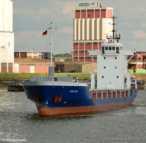
Vessel profile: Charlotte is a General Cargo Ship with dimensions 90m x 14m.
This page combines live AIS, route history, probable destination signals, nearby traffic, and port activity for practical vessel monitoring.
The current position of vessel Charlotte is 12.24006 lat / -82.53921 lng. Updated: 2026-05-23 05:20:26 UTCCurrently sailing under the flag of Antigua Barbuda ![]()
Charlotte built in 1996 year
Deadweight:
2800 tDetails:
Live Vessel Charlotte Analytics (details, animations, etc.)
Recent AIS points (UTC):
2026-05-23 02:19:07 UTC · 12.34267, -82.11425 · SOG 8.2 kn · COG 254°2026-05-23 03:20:57 UTC · 12.30470, -82.25350 · SOG 8.6 kn · COG 254°
2026-05-23 04:08:18 UTC · 12.28101, -82.36635 · SOG 8.6 kn · COG 255°
2026-05-23 05:20:26 UTC · 12.24006, -82.53921 · SOG 8.7 kn · COG 255°