 vesseltracker.com
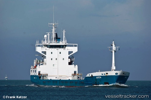
 HOHEWIND
Current Status
Where is the vessel?
HOHEWIND is currently in 45 nm NW of Cayo Coco, based on AIS data received about 14h ago.
Latest AIS update:
Current position: 23.13500° N, 78.91833° W (45 nm NW of Cayo Coco)
Average speed (last 7 days): Loading…
Average speed (last 30 days): Loading…
Vessel profile: HOHEWIND is a Cargo with dimensions m x m.
This page combines live AIS, route history, probable destination signals, nearby traffic, and port activity for practical vessel monitoring.
The current position of vessel HOHEWIND is 23.13500 lat / -78.91833 lng. Updated: 2026-05-17 20:11:36 UTCNearest reference points:
- 36 nm E of Cayo Coco
- 28 nm NE of VARADERO
- 11 nm S of Lyford Cay
Currently sailing under the flag of Antigua and Barbuda ![]()
Details:
Live Vessel HOHEWIND Analytics (details, animations, etc.)
Recent AIS points (UTC):
2026-05-17 16:08:40 UTC · 23.88667, -79.19333 · SOG 11 kn · COG -1°2026-05-17 17:17:36 UTC · 23.67333, -79.12500 · SOG 11 kn · COG -1°
2026-05-17 19:47:39 UTC · 23.21333, -78.95167 · SOG 12 kn · COG -1°
2026-05-17 20:11:36 UTC · 23.13500, -78.91833 · SOG 12 kn · COG -1°