 THIRTY ONE
Current Status
Where is the vessel?
THIRTY ONE is currently in 18 nm E of Dalian, based on AIS data received about 14h ago.
Latest AIS update:
Current position: 38.94490° N, 122.02888° E (18 nm E of Dalian)
Average speed (last 7 days): Loading…
Average speed (last 30 days): Loading…
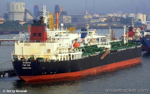
Vessel profile: THIRTY ONE is a Crude Oil Tanker with dimensions m x m.
This page combines live AIS, route history, probable destination signals, nearby traffic, and port activity for practical vessel monitoring.
The current position of vessel THIRTY ONE is 38.94490 lat / 122.02888 lng. Updated: 2026-05-23 06:13:54 UTCNearest reference points:
- 15 nm E of Dalian
- 20 nm E of Dalian
- 15 nm SE of Dalian
Currently sailing under the flag of Curacao ![]()
Details:
Live Vessel THIRTY ONE Analytics (details, animations, etc.)
Recent AIS points (UTC):
2026-05-23 02:02:58 UTC · 38.94695, 122.03304 · SOG 0 kn · COG 226°2026-05-23 04:26:39 UTC · 38.94708, 122.03228 · SOG 0 kn · COG 211°
2026-05-23 04:44:01 UTC · 38.94748, 122.03105 · SOG 0 kn · COG 191°
2026-05-23 06:13:54 UTC · 38.94490, 122.02888 · SOG 0 kn · COG 99°