 Talia
Talia
Current Status
Where is the vessel?
Talia is currently in 25 nm E of ITAPOA, based on AIS data received about 15h ago.
Latest AIS update:
Current position: 26.18833° S, 48.13333° W (25 nm E of ITAPOA)
Average speed (last 7 days): Loading…
Average speed (last 30 days): Loading…
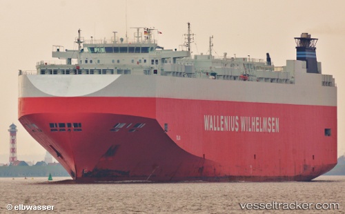
Vessel profile: Talia is a Vehicles Carrier with dimensions 200m x 32m.
This page combines live AIS, route history, probable destination signals, nearby traffic, and port activity for practical vessel monitoring.
The current position of vessel Talia is -26.18833 lat / -48.13333 lng. Updated: 2026-05-19 04:14:10 UTCNearest reference points:
- 32 nm E of Caioba
- 24 nm E of Caioba
- 10 nm NE of CAMBORIU
Currently sailing under the flag of Bahamas ![]()
Talia built in 2006 year
Deadweight:
21021 tDetails:
Live Vessel Talia Analytics (details, animations, etc.)
Recent AIS points (UTC):
2026-05-19 01:59:26 UTC · -26.69365, -48.11223 · SOG 13.5 kn · COG 359°2026-05-19 02:11:09 UTC · -26.64833, -48.11333 · SOG 13 kn · COG -1°
2026-05-19 04:11:52 UTC · -26.19760, -48.13401 · SOG 13.3 kn · COG -1°
2026-05-19 04:14:10 UTC · -26.18833, -48.13333 · SOG 13 kn · COG -1°