 Dole Colombia
Current Status
Where is the vessel?
Dole Colombia is currently in 97 nm NE of Arthur's Town, Cat Island, based on AIS data received about 15h ago.
Latest AIS update:
Current position: 25.66273° N, 74.32505° W (97 nm NE of Arthur's Town, Cat Island)
Average speed (last 7 days): Loading…
Average speed (last 30 days): Loading…
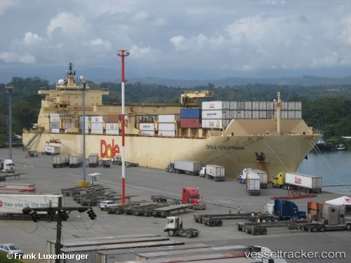
Vessel profile: Dole Colombia is a Container Ship with dimensions 205m x 32m.
This page combines live AIS, route history, probable destination signals, nearby traffic, and port activity for practical vessel monitoring.
The current position of vessel Dole Colombia is 25.66273 lat / -74.32505 lng. Updated: 2026-05-21 19:18:05 UTCNearest reference points:
- 31 nm E of Harbour Island
- 22 nm E of Harbour Island
- Near Harbour Island
Currently sailing under the flag of Bahamas ![]()
Dole Colombia built in 1999 year
Deadweight:
30145 tDetails:
Live Vessel Dole Colombia Analytics (details, animations, etc.)
Recent AIS points (UTC):
2026-05-21 15:12:31 UTC · 26.69854, -74.31141 · SOG 16.9 kn · COG 182°2026-05-21 17:54:57 UTC · 25.92193, -74.31246 · SOG 17.3 kn · COG 173°
2026-05-21 19:18:05 UTC · 25.66273, -74.32505 · SOG 1.8 kn · COG 356°
2026-05-21 19:18:05 UTC · 25.66273, -74.32505 · SOG 1.8 kn · COG 356°