 MERAKLIS
Current Status
Where is the vessel?
MERAKLIS is currently in 204 nm SW of River Cess, based on AIS data received about 14h ago.
Latest AIS update:
Current position: 2.90734° N, 11.81775° W (204 nm SW of River Cess)
Average speed (last 7 days): Loading…
Average speed (last 30 days): Loading…
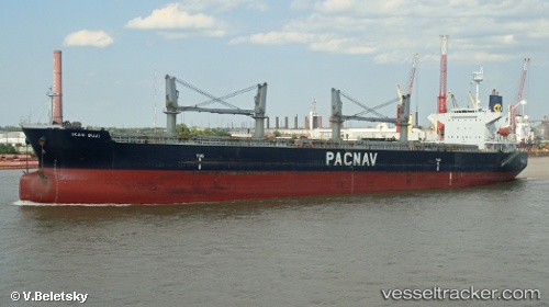
Vessel profile: MERAKLIS is a Bulk Carrier with dimensions 32m x 190m.
This page combines live AIS, route history, probable destination signals, nearby traffic, and port activity for practical vessel monitoring.
The current position of vessel MERAKLIS is 2.90734 lat / -11.81775 lng. Updated: 2026-05-20 05:47:59 UTCNearest reference points:
- 110 nm SW of River Cess
- Open sea, approx. 407 nm off the nearest listed port
- Open sea, approx. 410 nm off the nearest listed port
Currently sailing under the flag of Bahamas ![]()
MERAKLIS built in 2001 year
Deadweight:
50296 tDetails:
Live Vessel MERAKLIS Analytics (details, animations, etc.)
Recent AIS points (UTC):
2026-05-20 01:56:59 UTC · 3.45171, -12.22277 · SOG 10.4 kn · COG 139°2026-05-20 04:15:10 UTC · 3.12435, -11.97611 · SOG 10.5 kn · COG 139°
2026-05-20 04:35:08 UTC · 3.07719, -11.94103 · SOG 10.4 kn · COG 139°
2026-05-20 05:47:59 UTC · 2.90734, -11.81775 · SOG 10 kn · COG 136°