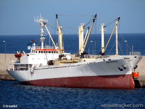
Rangiroa
Current StatusWhere is the vessel?
Rangiroa is currently in 63 nm SE of Las Brujas, based on AIS data received about 16h ago.
Latest AIS update:
Current position: 22.97877° N, 17.41921° W (63 nm SE of Las Brujas)
Average speed (last 7 days): Loading…
Average speed (last 30 days): Loading…
Vessel profile: Rangiroa is a Fish Carrier with dimensions 16m x 92m.
This page combines live AIS, route history, probable destination signals, nearby traffic, and port activity for practical vessel monitoring.
The current position of vessel Rangiroa is 22.97877 lat / -17.41921 lng. Updated: 2026-05-23 05:29:39 UTCNearest reference points:
- 68 nm NW of Ad Dakhla
- 41 nm NW of Nouadhibou
- Near DAKHLA
Details:
Live Vessel Rangiroa Analytics (details, animations, etc.)
Recent AIS points (UTC):
2026-05-23 01:24:51 UTC · 23.72782, -17.22286 · SOG 11.5 kn · COG -1°2026-05-23 03:45:00 UTC · 23.29788, -17.34552 · SOG 11.1 kn · COG 185°
2026-05-23 04:35:09 UTC · 23.14411, -17.38122 · SOG 11.2 kn · COG 187°
2026-05-23 05:29:39 UTC · 22.97877, -17.41921 · SOG 11.4 kn · COG 189°