 vesseltracker.com
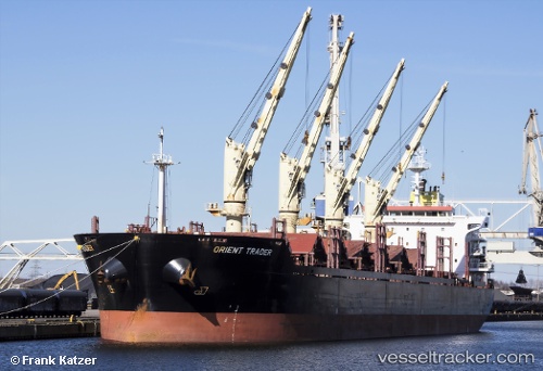
 AMIRA DIANA
Current Status
Where is the vessel?
AMIRA DIANA is currently in 69 nm S of SHUAIBAH, based on AIS data received about 14h ago.
Latest AIS update:
Current position: 19.50843° N, 39.53428° E (69 nm S of SHUAIBAH)
Average speed (last 7 days): Loading…
Average speed (last 30 days): Loading…
Vessel profile: AMIRA DIANA is a Bulk Carrier with dimensions m x m.
This page combines live AIS, route history, probable destination signals, nearby traffic, and port activity for practical vessel monitoring.
The current position of vessel AMIRA DIANA is 19.50843 lat / 39.53428 lng. Updated: 2026-05-18 12:08:03 UTCNearest reference points:
- 53 nm SW of SHUAIBAH
- 99 nm SW of Al Qunfudah
- 10 nm SW of Jeddah
Currently sailing under the flag of Barbados ![]()
Details:
Live Vessel AMIRA DIANA Analytics (details, animations, etc.)
Recent AIS points (UTC):
2026-05-18 07:50:03 UTC · 18.82023, 39.93911 · SOG 10.4 kn · COG 331°2026-05-18 09:45:43 UTC · 19.11836, 39.76719 · SOG 10.8 kn · COG 326°
2026-05-18 10:29:54 UTC · 19.23923, 39.70204 · SOG 11.1 kn · COG 324°
2026-05-18 12:08:03 UTC · 19.50843, 39.53428 · SOG 11.7 kn · COG 329°