 vesseltracker.com
 NEW FAITH
Current Status
Where is the vessel?
NEW FAITH is currently in 247 nm SW of Okha, based on AIS data received about 14h ago.
Latest AIS update:
Current position: 20.06005° N, 65.51937° E (247 nm SW of Okha)
Average speed (last 7 days): Loading…
Average speed (last 30 days): Loading…
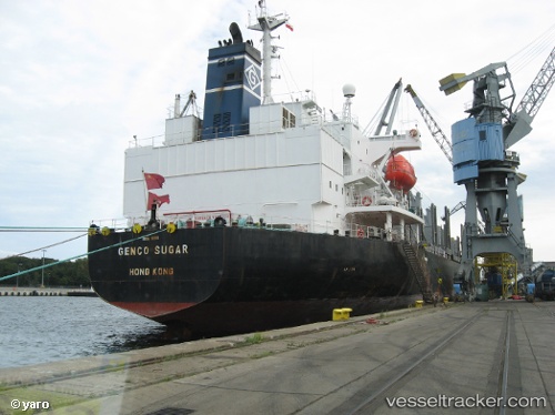
Vessel profile: NEW FAITH is a Bulk Carrier with dimensions m x m.
This page combines live AIS, route history, probable destination signals, nearby traffic, and port activity for practical vessel monitoring.
The current position of vessel NEW FAITH is 20.06005 lat / 65.51937 lng. Updated: 2026-05-18 01:23:06 UTCNearest reference points:
- 231 nm SW of Keti Bandar
- 262 nm SE of SUR
- 224 nm E of SUR
Currently sailing under the flag of Barbados ![]()
Details:
Live Vessel NEW FAITH Analytics (details, animations, etc.)
Recent AIS points (UTC):
2026-05-17 22:15:07 UTC · 20.28299, 66.05767 · SOG 10.2 kn · COG 251°2026-05-17 23:48:17 UTC · 20.16879, 65.79636 · SOG 10.7 kn · COG 252°
2026-05-18 01:23:06 UTC · 20.06005, 65.51937 · SOG 10.9 kn · COG 247°
2026-05-18 01:23:06 UTC · 20.06005, 65.51937 · SOG 10.9 kn · COG 247°