 vesseltracker.com
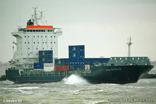
 RMS ROSE
Current Status
Where is the vessel?
RMS ROSE is currently in 44 nm NW of Kenitra, based on AIS data received about 14h ago.
Latest AIS update:
Current position: 34.66581° N, 7.32159° W (44 nm NW of Kenitra)
Average speed (last 7 days): Loading…
Average speed (last 30 days): Loading…
Vessel profile: RMS ROSE is a Container Ship with dimensions m x m.
This page combines live AIS, route history, probable destination signals, nearby traffic, and port activity for practical vessel monitoring.
The current position of vessel RMS ROSE is 34.66581 lat / -7.32159 lng. Updated: 2026-05-18 01:08:56 UTCNearest reference points:
- Near Mohammedia
- 45 nm W of Gibraltar
- 54 nm N of El Jadida
Currently sailing under the flag of Barbados ![]()
Details:
Live Vessel RMS ROSE Analytics (details, animations, etc.)
Recent AIS points (UTC):
2026-05-17 22:13:44 UTC · 34.13690, -7.52634 · SOG 11.2 kn · COG 9°2026-05-17 22:13:44 UTC · 34.13690, -7.52634 · SOG 11.2 kn · COG 9°
2026-05-18 01:08:56 UTC · 34.66581, -7.32159 · SOG 11.4 kn · COG 37°
2026-05-18 01:08:56 UTC · 34.66581, -7.32159 · SOG 11.4 kn · COG 37°