 EXPLORER
Current Status
Where is the vessel?
EXPLORER is currently in 146 nm W of Dighi (Pune), based on AIS data received about 16h ago.
Latest AIS update:
Current position: 17.65297° N, 70.48468° E (146 nm W of Dighi (Pune))
Average speed (last 7 days): Loading…
Average speed (last 30 days): Loading…
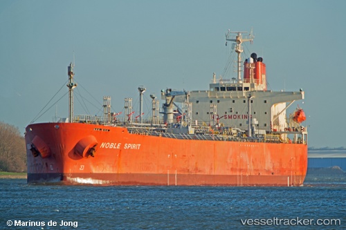
Vessel profile: EXPLORER is a Oil/Chemical Tanker with dimensions m x m.
This page combines live AIS, route history, probable destination signals, nearby traffic, and port activity for practical vessel monitoring.
The current position of vessel EXPLORER is 17.65297 lat / 70.48468 lng. Updated: 2026-05-19 13:28:21 UTCNearest reference points:
- 236 nm SW of Veraval
- 282 nm W of RATNAGIRI
- Near Mumbai
Currently sailing under the flag of Barbados ![]()
Details:
Live Vessel EXPLORER Analytics (details, animations, etc.)
Recent AIS points (UTC):
2026-05-19 10:21:22 UTC · 17.12125, 70.83893 · SOG 11.8 kn · COG 330°2026-05-19 11:52:41 UTC · 17.38097, 70.67652 · SOG 12 kn · COG 326°
2026-05-19 13:24:01 UTC · 17.64085, 70.49388 · SOG 12.3 kn · COG 322°
2026-05-19 13:28:21 UTC · 17.65297, 70.48468 · SOG 12.4 kn · COG 322°