 vesseltracker.com
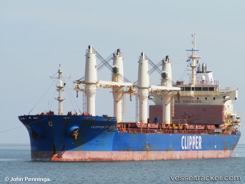
 SOLENT
Current Status
Where is the vessel?
SOLENT is currently in Near Hunsdon, based on AIS data received about 14h ago.
Latest AIS update:
Current position: 51.83255° N, 3.37395° E (Near Hunsdon)
Average speed (last 7 days): Loading…
Average speed (last 30 days): Loading…
Vessel profile: SOLENT is a Bulk Carrier with dimensions m x m.
This page combines live AIS, route history, probable destination signals, nearby traffic, and port activity for practical vessel monitoring.
The current position of vessel SOLENT is 51.83255 lat / 3.37395 lng. Updated: 2026-05-18 10:46:08 UTCNearest reference points:
- Near Hunsdon
- 12 nm NE of Hunsdon
- Near OOSTWATERING
Currently sailing under the flag of Barbados ![]()
Details:
Live Vessel SOLENT Analytics (details, animations, etc.)
Recent AIS points (UTC):
2026-05-18 07:34:11 UTC · 51.83260, 3.37434 · SOG 0.3 kn · COG 76°2026-05-18 07:50:50 UTC · 51.83216, 3.37547 · SOG 0.3 kn · COG 353°
2026-05-18 09:46:41 UTC · 51.83260, 3.37366 · SOG 0.1 kn · COG 27°
2026-05-18 10:46:08 UTC · 51.83255, 3.37395 · SOG 0.1 kn · COG 16°