 vesseltracker.com
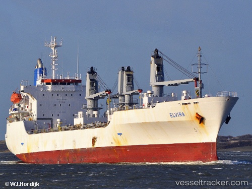
 ELVIRA
Current Status
Where is the vessel?
ELVIRA is currently in 76 nm E of Nedroma, based on AIS data received about 15h ago.
Latest AIS update:
Current position: 35.31833° N, 13.17500° W (76 nm E of Nedroma)
Average speed (last 7 days): Loading…
Average speed (last 30 days): Loading…
Vessel profile: ELVIRA is a Reefer with dimensions m x m.
This page combines live AIS, route history, probable destination signals, nearby traffic, and port activity for practical vessel monitoring.
The current position of vessel ELVIRA is 35.31833 lat / -13.17500 lng. Updated: 2026-05-18 01:32:42 UTCNearest reference points:
- 110 nm E of Nedroma
- 75 nm NE of Nedroma
- 115 nm E of Nedroma
Currently sailing under the flag of Barbados ![]()
Details:
Live Vessel ELVIRA Analytics (details, animations, etc.)
Recent AIS points (UTC):
2026-05-17 22:08:40 UTC · 34.59833, -13.39333 · SOG 12 kn · COG -1°2026-05-17 23:26:39 UTC · 34.87333, -13.31167 · SOG 13 kn · COG -1°
2026-05-18 01:23:42 UTC · 35.28667, -13.18333 · SOG 13 kn · COG -1°
2026-05-18 01:32:42 UTC · 35.31833, -13.17500 · SOG 13 kn · COG -1°