 OCEAN MARY
Current Status
Where is the vessel?
OCEAN MARY is currently in 109 nm SW of Tchatamba, based on AIS data received about 14h ago.
Latest AIS update:
Current position: 3.18724° S, 7.70854° E (109 nm SW of Tchatamba)
Average speed (last 7 days): Loading…
Average speed (last 30 days): Loading…
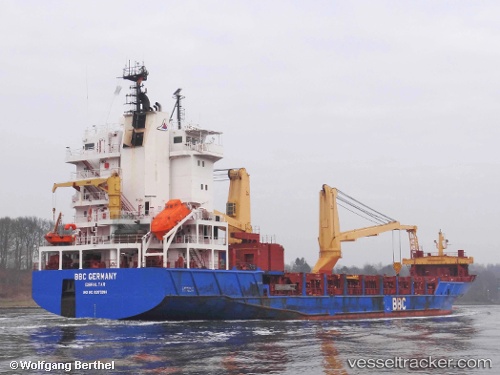
Vessel profile: OCEAN MARY is a General Cargo with dimensions m x m.
This page combines live AIS, route history, probable destination signals, nearby traffic, and port activity for practical vessel monitoring.
The current position of vessel OCEAN MARY is -3.18724 lat / 7.70854 lng. Updated: 2026-05-22 07:06:06 UTCCurrently sailing under the flag of Barbados ![]()
Details:
Live Vessel OCEAN MARY Analytics (details, animations, etc.)
Recent AIS points (UTC):
2026-05-22 04:03:41 UTC · -3.40306, 8.12034 · SOG 9.1 kn · COG 300°2026-05-22 04:24:37 UTC · -3.37819, 8.07437 · SOG 9 kn · COG 299°
2026-05-22 05:55:46 UTC · -3.27002, 7.86930 · SOG 8.9 kn · COG 297°
2026-05-22 07:06:06 UTC · -3.18724, 7.70854 · SOG 9.1 kn · COG 297°