 IDON
IDON
Current Status
Where is the vessel?
IDON is currently in 369 nm SE of Richards Bay, based on AIS data received about 14h ago.
Latest AIS update:
Current position: 31.62564° S, 38.47174° E (369 nm SE of Richards Bay)
Average speed (last 7 days): Loading…
Average speed (last 30 days): Loading…
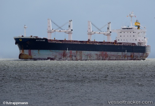
Vessel profile: IDON is a Bulk Carrier with dimensions m x m.
This page combines live AIS, route history, probable destination signals, nearby traffic, and port activity for practical vessel monitoring.
The current position of vessel IDON is -31.62564 lat / 38.47174 lng. Updated: 2026-05-22 07:57:50 UTCNearest reference points:
- Open sea, approx. 401 nm off the nearest listed port
- Open sea, approx. 403 nm off the nearest listed port
- Open sea, approx. 402 nm off the nearest listed port
Currently sailing under the flag of Barbados ![]()
Details:
Live Vessel IDON Analytics (details, animations, etc.)
Recent AIS points (UTC):
2026-05-22 04:15:12 UTC · -31.84543, 37.74819 · SOG 10.6 kn · COG 69°2026-05-22 06:20:43 UTC · -31.73237, 38.15854 · SOG 10.5 kn · COG 67°
2026-05-22 07:23:07 UTC · -31.66666, 38.35794 · SOG 10.6 kn · COG 66°
2026-05-22 07:57:50 UTC · -31.62564, 38.47174 · SOG 10.7 kn · COG 65°