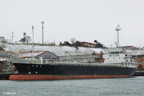
 RISUN 7
Current Status
Where is the vessel?
RISUN 7 is currently in Near HIRAHATA, based on AIS data received about 15h ago.
Latest AIS update:
Current position: 34.74500° N, 134.63499° E (Near HIRAHATA)
Average speed (last 7 days): Loading…
Average speed (last 30 days): Loading…
Vessel profile: RISUN 7 is a Cargo with dimensions m x m.
This page combines live AIS, route history, probable destination signals, nearby traffic, and port activity for practical vessel monitoring.
The current position of vessel RISUN 7 is 34.74500 lat / 134.63499 lng. Updated: 2026-05-22 17:59:37 UTCNearest reference points:
- Near AIOI
- Near KAKOGAWA
- Near HIGASHIHARIMA
Currently sailing under the flag of Jamaica ![]()
Details:
Live Vessel RISUN 7 Analytics (details, animations, etc.)
Recent AIS points (UTC):
2026-05-22 14:10:07 UTC · 34.74608, 134.63513 · SOG 0 kn · COG 94°2026-05-22 16:17:35 UTC · 34.74500, 134.63499 · SOG 0 kn · COG -1°
2026-05-22 16:41:35 UTC · 34.74500, 134.63499 · SOG 0 kn · COG -1°
2026-05-22 17:59:37 UTC · 34.74500, 134.63499 · SOG 0 kn · COG -1°