 vesseltracker.com
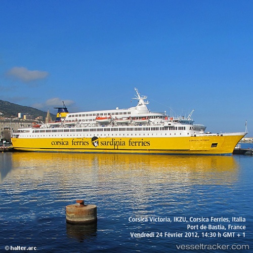
 QUEEN RINAS
Current Status
Where is the vessel?
QUEEN RINAS is currently in Near Jeddah, based on AIS data received about 14h ago.
Latest AIS update:
Current position: 21.45480° N, 39.07128° E (Near Jeddah)
Average speed (last 7 days): Loading…
Average speed (last 30 days): Loading…
Vessel profile: QUEEN RINAS is a Ro-Ro/Passenger Ship with dimensions m x m.
This page combines live AIS, route history, probable destination signals, nearby traffic, and port activity for practical vessel monitoring.
The current position of vessel QUEEN RINAS is 21.45480 lat / 39.07128 lng. Updated: 2026-05-18 02:17:15 UTCNearest reference points:
- Near Jeddah
- Near Tusdeer Free Zone
- 10 nm SW of Jeddah
Currently sailing under the flag of Saint Kitts and Nevis ![]()
Details:
Live Vessel QUEEN RINAS Analytics (details, animations, etc.)
Recent AIS points (UTC):
2026-05-17 21:55:24 UTC · 21.45483, 39.07110 · SOG 0.1 kn · COG 348°2026-05-17 23:07:29 UTC · 21.45491, 39.07038 · SOG 0.3 kn · COG 338°
2026-05-17 23:40:23 UTC · 21.45488, 39.07039 · SOG 0.2 kn · COG 349°
2026-05-18 02:17:15 UTC · 21.45480, 39.07128 · SOG 0.8 kn · COG 331°