 PRINCE NEDAL
Current Status
Where is the vessel?
PRINCE NEDAL is currently in 27 nm W of Brummana, based on AIS data received about 14h ago.
Latest AIS update:
Current position: 35.71672° N, 35.09157° E (27 nm W of Brummana)
Average speed (last 7 days): Loading…
Average speed (last 30 days): Loading…
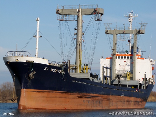
Vessel profile: PRINCE NEDAL is a General Cargo with dimensions m x m.
This page combines live AIS, route history, probable destination signals, nearby traffic, and port activity for practical vessel monitoring.
The current position of vessel PRINCE NEDAL is 35.71672 lat / 35.09157 lng. Updated: 2026-05-22 03:31:07 UTCNearest reference points:
- Near Al Latakia
- Near Al Ladhiqiyah
- Near Tartous
Currently sailing under the flag of Saint Kitts and Nevis ![]()
Details:
Live Vessel PRINCE NEDAL Analytics (details, animations, etc.)
Recent AIS points (UTC):
2026-05-21 22:55:38 UTC · 36.11079, 35.36950 · SOG 6 kn · COG -1°2026-05-22 00:09:07 UTC · 36.01129, 35.28020 · SOG 6.7 kn · COG -1°
2026-05-22 00:09:07 UTC · 36.01129, 35.28020 · SOG 6.7 kn · COG -1°
2026-05-22 03:31:07 UTC · 35.71672, 35.09157 · SOG 6.4 kn · COG -1°