 VERA ROSE
Current Status
Where is the vessel?
VERA ROSE is currently in Near EREN, based on AIS data received about 14h ago.
Latest AIS update:
Current position: 41.61480° N, 32.01478° E (Near EREN)
Average speed (last 7 days): Loading…
Average speed (last 30 days): Loading…
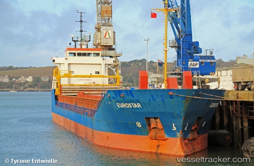
Vessel profile: VERA ROSE is a General Cargo with dimensions m x m.
This page combines live AIS, route history, probable destination signals, nearby traffic, and port activity for practical vessel monitoring.
The current position of vessel VERA ROSE is 41.61480 lat / 32.01478 lng. Updated: 2026-05-23 06:18:57 UTCNearest reference points:
- Near Erdemir
- Near Cide
- 27 nm NW of INEBOLU
Currently sailing under the flag of Saint Kitts and Nevis ![]()
Details:
Live Vessel VERA ROSE Analytics (details, animations, etc.)
Recent AIS points (UTC):
2026-05-23 02:24:30 UTC · 41.40641, 31.39605 · SOG 8 kn · COG 67°2026-05-23 03:46:30 UTC · 41.47318, 31.61534 · SOG 7.6 kn · COG 74°
2026-05-23 04:01:50 UTC · 41.48719, 31.65512 · SOG 7.8 kn · COG 62°
2026-05-23 06:18:57 UTC · 41.61480, 32.01478 · SOG 8.1 kn · COG 64°