 ANNA
ANNA
Current Status
Where is the vessel?
ANNA is currently in Near Haifa, based on AIS data received about 15h ago.
Latest AIS update:
Current position: 32.81268° N, 35.02748° E (Near Haifa)
Average speed (last 7 days): Loading…
Average speed (last 30 days): Loading…
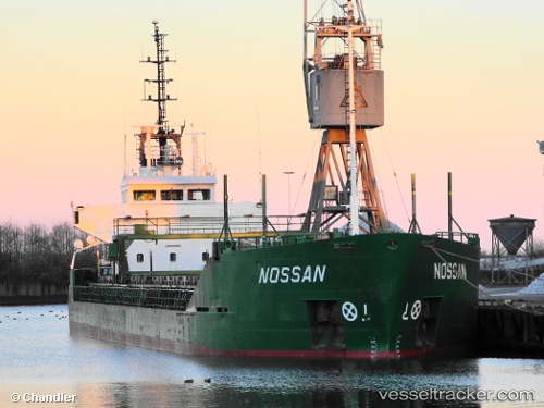
Vessel profile: ANNA is a General Cargo with dimensions m x m.
This page combines live AIS, route history, probable destination signals, nearby traffic, and port activity for practical vessel monitoring.
The current position of vessel ANNA is 32.81268 lat / 35.02748 lng. Updated: 2026-05-19 07:39:43 UTCNearest reference points:
- Near Haifa
- 22 nm W of Haifa Granaries
- Near DBAIYEH
Currently sailing under the flag of Saint Kitts and Nevis ![]()
Details:
Live Vessel ANNA Analytics (details, animations, etc.)
Recent AIS points (UTC):
2026-05-19 04:27:44 UTC · 32.81090, 35.02698 · SOG 0 kn · COG 135°2026-05-19 05:49:03 UTC · 32.81167, 35.02667 · SOG 0 kn · COG -1°
2026-05-19 07:01:17 UTC · 32.81283, 35.02716 · SOG 0.1 kn · COG 135°
2026-05-19 07:39:43 UTC · 32.81268, 35.02748 · SOG 3.2 kn · COG -1°