 OCEAN LINK
Current Status
Where is the vessel?
OCEAN LINK is currently in Near ASTYPALEA, based on AIS data received about 15h ago.
Latest AIS update:
Current position: 36.73365° N, 26.35130° E (Near ASTYPALEA)
Average speed (last 7 days): Loading…
Average speed (last 30 days): Loading…
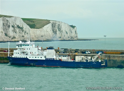
Vessel profile: OCEAN LINK is a Cable Layer with dimensions m x m.
This page combines live AIS, route history, probable destination signals, nearby traffic, and port activity for practical vessel monitoring.
The current position of vessel OCEAN LINK is 36.73365 lat / 26.35130 lng. Updated: 2026-05-22 18:04:45 UTCNearest reference points:
- 18 nm SW of PATMOS
- Near Aigiali Amorgou
- 20 nm S of Astypálaia
Currently sailing under the flag of Panama ![]()
Details:
Live Vessel OCEAN LINK Analytics (details, animations, etc.)
Recent AIS points (UTC):
2026-05-22 13:50:25 UTC · 36.94367, 27.00966 · SOG 5.2 kn · COG 212°2026-05-22 15:30:35 UTC · 36.84873, 26.75547 · SOG 7.9 kn · COG 255°
2026-05-22 16:13:55 UTC · 36.81770, 26.64540 · SOG 7.9 kn · COG 250°
2026-05-22 18:04:45 UTC · 36.73365, 26.35130 · SOG 8.2 kn · COG 254°