 SAKARYA
Current Status
Where is the vessel?
SAKARYA is currently in 62 nm NW of El Jadida, based on AIS data received about 15h ago.
Latest AIS update:
Current position: 34.03333° N, 9.33054° W (62 nm NW of El Jadida)
Average speed (last 7 days): Loading…
Average speed (last 30 days): Loading…
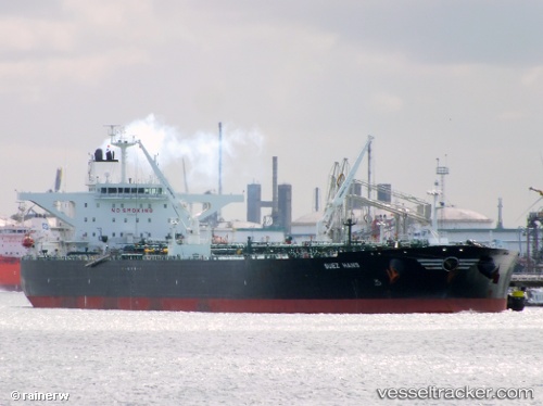
Vessel profile: SAKARYA is a Crude Oil Tanker with dimensions 274m x 48m.
This page combines live AIS, route history, probable destination signals, nearby traffic, and port activity for practical vessel monitoring.
The current position of vessel SAKARYA is 34.03333 lat / -9.33054 lng. Updated: 2026-05-20 17:09:34 UTCNearest reference points:
- 51 nm NW of Jorf Lasfar
- 44 nm NW of El Jadida
- 54 nm N of El Jadida
Currently sailing under the flag of Panama ![]()
SAKARYA built in 2011 year
Deadweight:
158574 tDetails:
Live Vessel SAKARYA Analytics (details, animations, etc.)
Recent AIS points (UTC):
2026-04-27 10:38:05 UTC · 52.07762, 2.48180 · SOG 1 kn · COG 357°2026-04-27 10:38:05 UTC · 52.07762, 2.48180 · SOG 1 kn · COG 357°
2026-04-27 10:38:05 UTC · 52.07762, 2.48180 · SOG 1 kn · COG 357°
2026-05-20 17:09:34 UTC · 34.03333, -9.33054 · SOG 0.9 kn · COG 234°
2026-05-20 17:09:34 UTC · 34.03333, -9.33054 · SOG 0.9 kn · COG 234°
2026-05-20 17:09:34 UTC · 34.03333, -9.33054 · SOG 0.9 kn · COG 234°