 AN YANG
Current Status
Where is the vessel?
AN YANG is currently in 153 nm W of Veraval, based on AIS data received about 21h ago.
Latest AIS update:
Current position: 20.07063° N, 67.79722° E (153 nm W of Veraval)
Average speed (last 7 days): Loading…
Average speed (last 30 days): Loading…
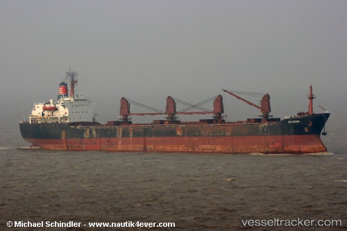
Vessel profile: AN YANG is a Cargo with dimensions m x m.
This page combines live AIS, route history, probable destination signals, nearby traffic, and port activity for practical vessel monitoring.
The current position of vessel AN YANG is 20.07063 lat / 67.79722 lng. Updated: 2026-05-22 09:56:11 UTCNearest reference points:
- 54 nm S of Positra
- 49 nm S of Positra
- Near Khambhaliya
Currently sailing under the flag of Panama ![]()
Details:
Live Vessel AN YANG Analytics (details, animations, etc.)
Recent AIS points (UTC):
2026-05-22 09:56:11 UTC · 20.07063, 67.79722 · SOG 10.5 kn · COG 114°2026-05-22 09:56:11 UTC · 20.07063, 67.79722 · SOG 10.5 kn · COG 114°
2026-05-22 09:56:11 UTC · 20.07063, 67.79722 · SOG 10.5 kn · COG 114°
2026-05-22 09:56:11 UTC · 20.07063, 67.79722 · SOG 10.5 kn · COG 114°