 ICE II
Current Status
Where is the vessel?
ICE II is currently in 17 nm S of Kukdo, based on AIS data received about 15h ago.
Latest AIS update:
Current position: 34.25843° N, 128.33015° E (17 nm S of Kukdo)
Average speed (last 7 days): Loading…
Average speed (last 30 days): Loading…
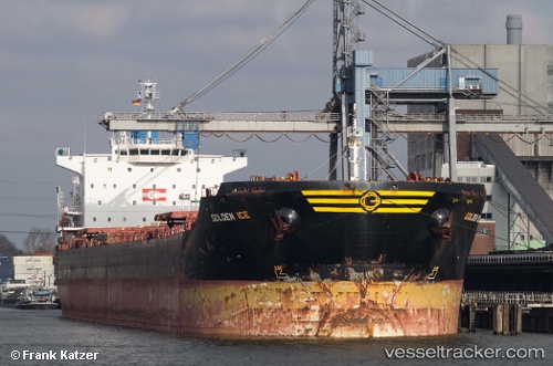
Vessel profile: ICE II is a Bulk Carrier with dimensions m x m.
This page combines live AIS, route history, probable destination signals, nearby traffic, and port activity for practical vessel monitoring.
The current position of vessel ICE II is 34.25843 lat / 128.33015 lng. Updated: 2026-05-21 19:38:28 UTCNearest reference points:
- 25 nm S of Kukdo
- 15 nm S of Kukdo
- 10 nm SW of Junghwa
Currently sailing under the flag of Panama ![]()
Details:
Live Vessel ICE II Analytics (details, animations, etc.)
Recent AIS points (UTC):
2026-05-21 16:36:52 UTC · 34.60208, 128.89650 · SOG 11.8 kn · COG -1°2026-05-21 18:21:18 UTC · 34.39333, 128.57333 · SOG 11 kn · COG -1°
2026-05-21 19:18:29 UTC · 34.29308, 128.39194 · SOG 11.2 kn · COG 235°
2026-05-21 19:38:28 UTC · 34.25843, 128.33015 · SOG 11 kn · COG 234°