 STAR BLESSING
Current Status
Where is the vessel?
STAR BLESSING is currently in 25 nm SW of Okha, based on AIS data received about 14h ago.
Latest AIS update:
Current position: 22.26381° N, 68.70767° E (25 nm SW of Okha)
Average speed (last 7 days): Loading…
Average speed (last 30 days): Loading…
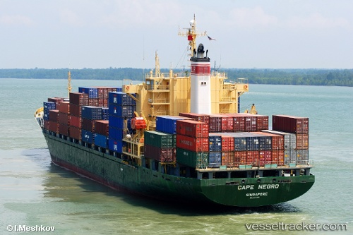
Vessel profile: STAR BLESSING is a Container Ship with dimensions m x m.
This page combines live AIS, route history, probable destination signals, nearby traffic, and port activity for practical vessel monitoring.
The current position of vessel STAR BLESSING is 22.26381 lat / 68.70767 lng. Updated: 2026-05-21 22:13:30 UTCNearest reference points:
- 13 nm W of Måndvi
- 49 nm S of Positra
- 54 nm S of Positra
Currently sailing under the flag of Panama ![]()
Details:
Live Vessel STAR BLESSING Analytics (details, animations, etc.)
Recent AIS points (UTC):
2026-05-21 19:31:29 UTC · 22.26404, 68.70738 · SOG 0.3 kn · COG 223°2026-05-21 19:40:29 UTC · 22.26406, 68.70735 · SOG 0.1 kn · COG 228°
2026-05-21 21:55:29 UTC · 22.26377, 68.70773 · SOG 0.4 kn · COG 232°
2026-05-21 22:13:30 UTC · 22.26381, 68.70767 · SOG 0.1 kn · COG 238°