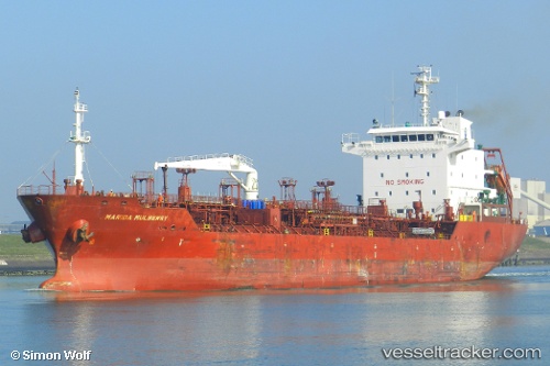
 HAVEN
HAVEN
Current Status
Where is the vessel?
HAVEN is currently in 14 nm SW of Kuala Langat, based on AIS data received about 14h ago.
Latest AIS update:
Current position: 2.57793° N, 101.42003° E (14 nm SW of Kuala Langat)
Average speed (last 7 days): Loading…
Average speed (last 30 days): Loading…
Vessel profile: HAVEN is a Oil/Chemical Tanker with dimensions m x m.
This page combines live AIS, route history, probable destination signals, nearby traffic, and port activity for practical vessel monitoring.
The current position of vessel HAVEN is 2.57793 lat / 101.42003 lng. Updated: 2026-05-21 05:34:04 UTCNearest reference points:
- 14 nm SW of Banting
- 15 nm SW of Banting
- Near Carey Island Estate
Currently sailing under the flag of Panama ![]()
Details:
Live Vessel HAVEN Analytics (details, animations, etc.)
Recent AIS points (UTC):
2026-05-21 02:27:55 UTC · 2.85863, 100.91240 · SOG 10.9 kn · COG 123°2026-05-21 03:59:44 UTC · 2.71535, 101.15865 · SOG 11.3 kn · COG 118°
2026-05-21 04:14:05 UTC · 2.69407, 101.19790 · SOG 11.2 kn · COG 121°
2026-05-21 05:34:04 UTC · 2.57793, 101.42003 · SOG 11.2 kn · COG 130°