 CELESTE I
Current Status
Where is the vessel?
CELESTE I is currently in Near Singapore, based on AIS data received about 14h ago.
Latest AIS update:
Current position: 1.21333° N, 103.81167° E (Near Singapore)
Average speed (last 7 days): Loading…
Average speed (last 30 days): Loading…
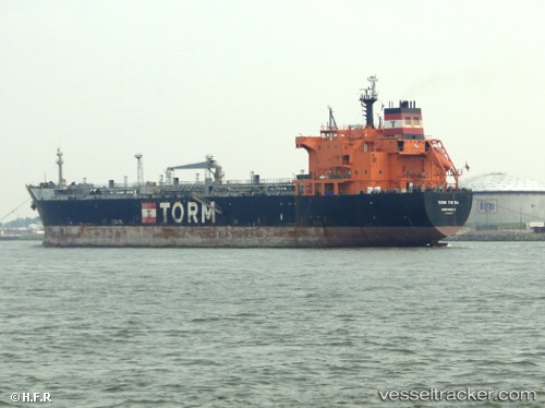
Vessel profile: CELESTE I is a Oil/Chemical Tanker with dimensions m x m.
This page combines live AIS, route history, probable destination signals, nearby traffic, and port activity for practical vessel monitoring.
The current position of vessel CELESTE I is 1.21333 lat / 103.81167 lng. Updated: 2026-05-22 02:26:02 UTCNearest reference points:
- Near BUKOM ISLAND
- Near Singapore
- Near Pasir Panjang Wharves
Currently sailing under the flag of Panama ![]()
Details:
Live Vessel CELESTE I Analytics (details, animations, etc.)
Recent AIS points (UTC):
2026-05-21 21:46:17 UTC · 1.21315, 103.81142 · SOG 0.2 kn · COG 316°2026-05-21 23:10:16 UTC · 1.21426, 103.81200 · SOG 0 kn · COG 309°
2026-05-22 01:16:20 UTC · 1.21348, 103.81161 · SOG 0.3 kn · COG 283°
2026-05-22 02:26:02 UTC · 1.21333, 103.81167 · SOG 0 kn · COG -1°