 FORTUNE GLOBE
Current Status
Where is the vessel?
FORTUNE GLOBE is currently in Near PENGERANG, based on AIS data received about 14h ago.
Latest AIS update:
Current position: 1.32176° N, 104.23718° E (Near PENGERANG)
Average speed (last 7 days): Loading…
Average speed (last 30 days): Loading…
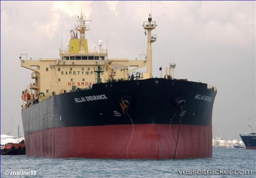
Vessel profile: FORTUNE GLOBE is a Crude Oil Tanker with dimensions m x m.
This page combines live AIS, route history, probable destination signals, nearby traffic, and port activity for practical vessel monitoring.
The current position of vessel FORTUNE GLOBE is 1.32176 lat / 104.23718 lng. Updated: 2026-05-20 00:08:26 UTCNearest reference points:
- Near PENGERANG
- Near Tanjung Setapa
- Near TANAH MERAH
Currently sailing under the flag of Panama ![]()
Details:
Live Vessel FORTUNE GLOBE Analytics (details, animations, etc.)
Recent AIS points (UTC):
2026-05-19 20:14:22 UTC · 1.32179, 104.23736 · SOG 0.1 kn · COG 258°2026-05-19 21:26:23 UTC · 1.32175, 104.23734 · SOG 0 kn · COG 262°
2026-05-19 23:08:25 UTC · 1.32169, 104.23731 · SOG 0.1 kn · COG 264°
2026-05-20 00:08:26 UTC · 1.32176, 104.23718 · SOG 0 kn · COG 254°