 VST OCEANIA
Current Status
Where is the vessel?
VST OCEANIA is currently in 55 nm NW of Krueng Geukueh, based on AIS data received about 14h ago.
Latest AIS update:
Current position: 5.94266° N, 96.42911° E (55 nm NW of Krueng Geukueh)
Average speed (last 7 days): Loading…
Average speed (last 30 days): Loading…
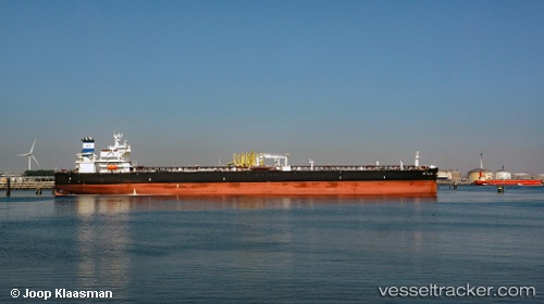
Vessel profile: VST OCEANIA is a Tanker with dimensions m x m.
This page combines live AIS, route history, probable destination signals, nearby traffic, and port activity for practical vessel monitoring.
The current position of vessel VST OCEANIA is 5.94266 lat / 96.42911 lng. Updated: 2026-05-22 04:02:30 UTCNearest reference points:
- 45 nm NE of Krueng Geukueh
- 53 nm NE of Sebang
- 21 nm N of Sebang
Currently sailing under the flag of Panama ![]()
Details:
Live Vessel VST OCEANIA Analytics (details, animations, etc.)
Recent AIS points (UTC):
2026-05-22 01:32:59 UTC · 5.78319, 97.00535 · SOG 13.9 kn · COG 283°2026-05-22 01:39:08 UTC · 5.78979, 96.98210 · SOG 14.1 kn · COG 283°
2026-05-22 01:39:08 UTC · 5.78979, 96.98210 · SOG 14.1 kn · COG 283°
2026-05-22 04:02:30 UTC · 5.94266, 96.42911 · SOG 15 kn · COG 281°